Percorsi e trekking a Jávea

Percorsi di trekking e camminate a Jávea. Esplora il Parco Naturale del Montgó, i percorsi delle scogliere e i sentieri costieri.

14 luoghi nell'app

In evidenza in Percorsi e trekking

PR-CV 354 Granadella

PR-CV 354 Granadella

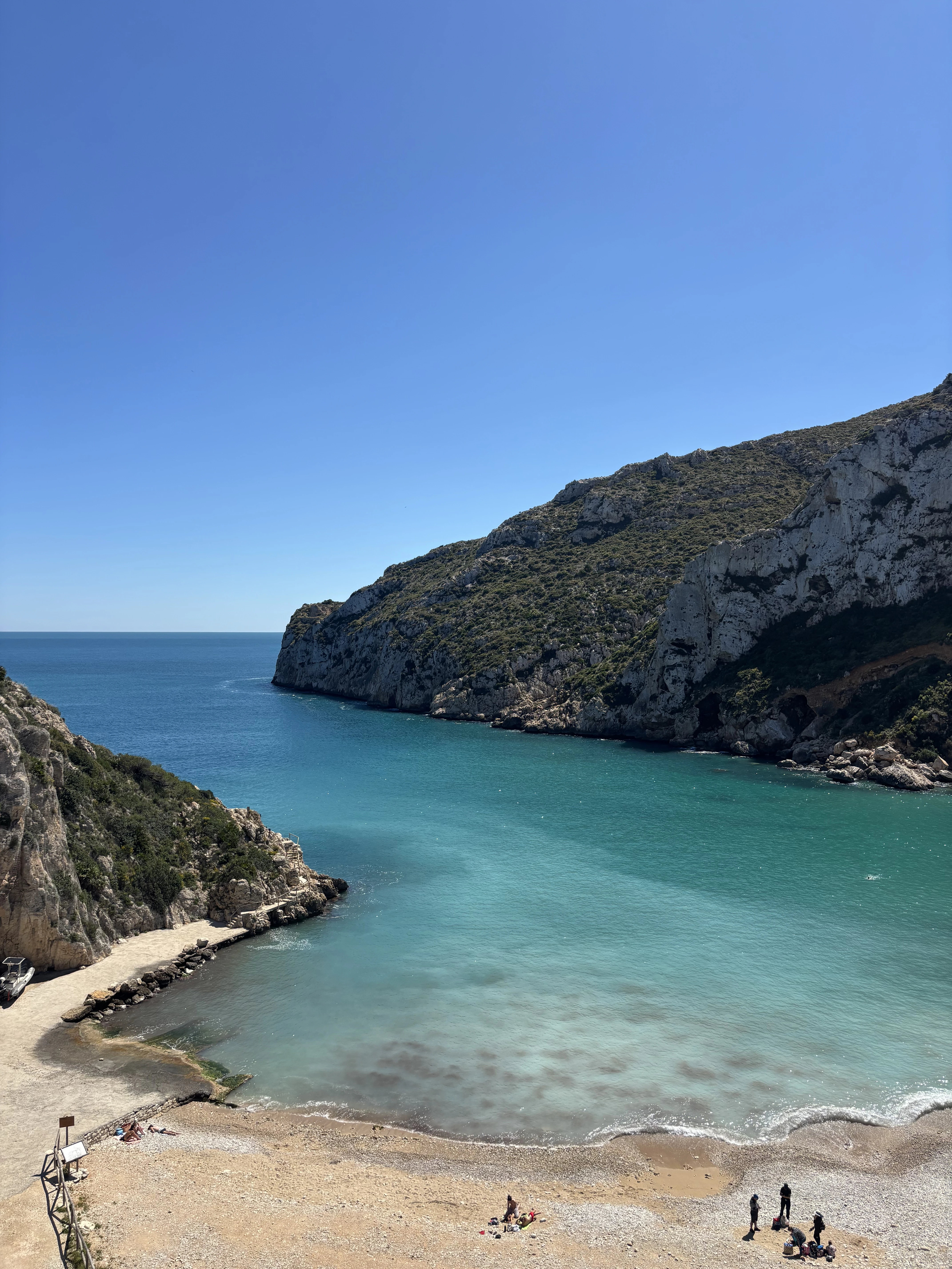
Circular trail through the Granadella forest park, an unspoilt area between sea and mountain. It passes the Castell de la Granadella, the Llevant and Granadella viewpoints, old ochre mines, lime kilns and 19th-century traditional buildings. Two variants: La Teulería and El Gurugú. Hunting season runs from 12 October to 6 January.
PR-CV 355 Xàbia Port – Montgó

Waymarked trail climbing from the Dique de Levante to the summit of the Montgó, crossing the natural park past Cap de Sant Antoni, the Cova Tallada and the Mare de Déu dels Àngels sanctuary. The final ridge section is the hardest part. Two signposted variants: Cala Tangó and Els Molins. Access to the Cova Tallada is regulated and requires prior authorisation; it is difficult and depends on sea conditions.

Capsades Woodland Route

Capsades Woodland Route

Short but demanding ride through the Capsades woodland, on narrow, slightly technical trails made for mountain bikers. After the first flat kilometres across El Pla comes the steep Camí de la Sabatera climb. On the Camí de la Sabatera climb there is a rocky stretch where you have to carry the bike.

Viewpoints Route

Viewpoints Route

A ride through pine woods stopping at 13 of Xàbia's 15 viewpoints, with views of Cap Prim, Cap Negre, La Nau, the Montgó and Cap de Sant Antoni. A leg-breaking profile with no technical difficulty, but you'll want to be fit.

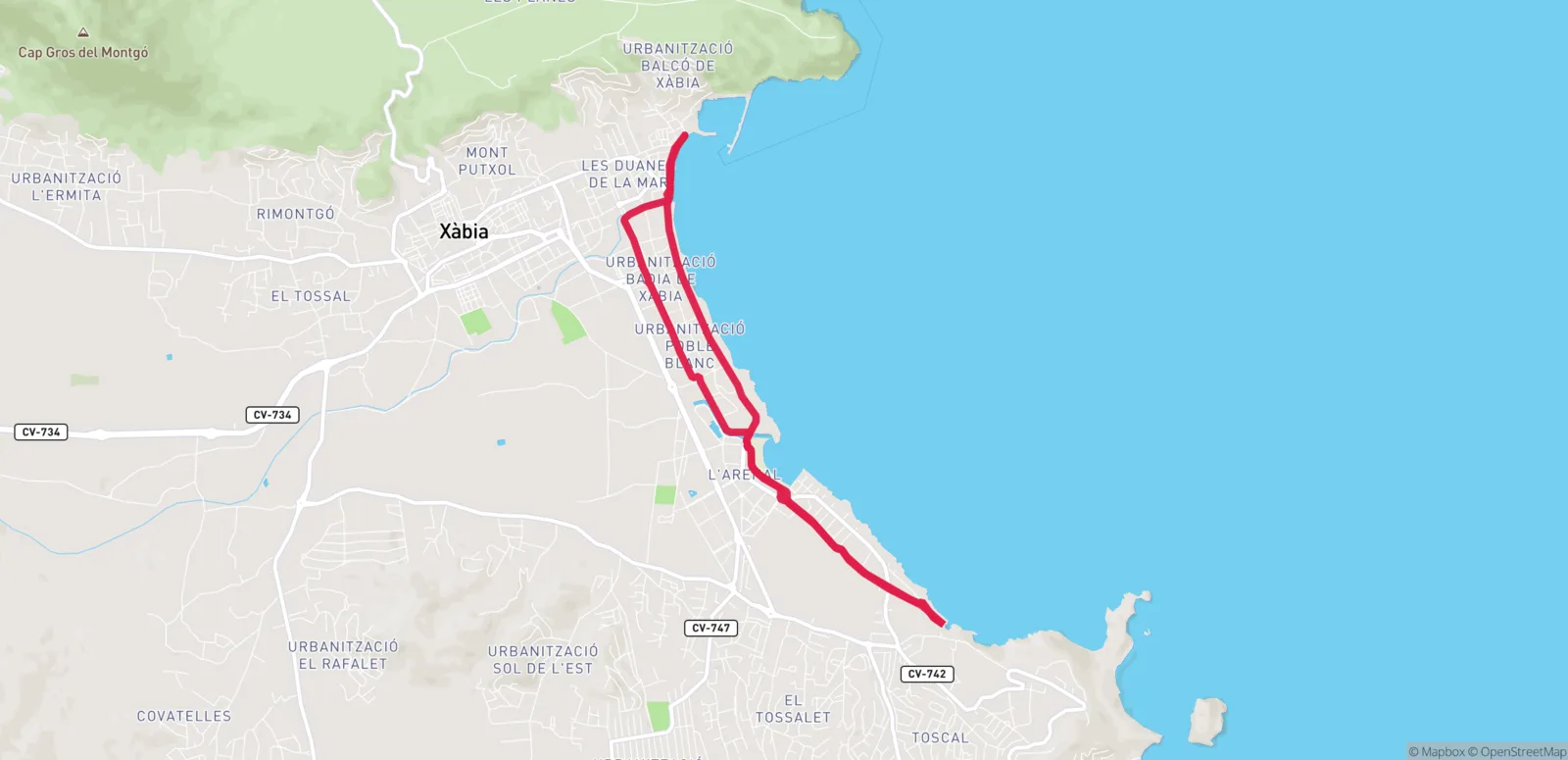
Family Route: Port – Cala Blanca

Family Route: Port – Cala Blanca

Flat and at sea level, it runs the length of Xàbia bay from the harbour to Cala Blanca. It passes the Les Tosqueres quarries, the Banys de la Reina and the Séquia de la Nòria: the best one to ride with children.

La Granadella Route

La Granadella Route

After the first two urban kilometres the route enters the Granadella public woodland, among pines and Mediterranean scrub. Four viewpoints, two green areas and a cove to stop for lunch on the most spectacular ride of them all. Not recommended between October and December: the area is a hunting reserve.

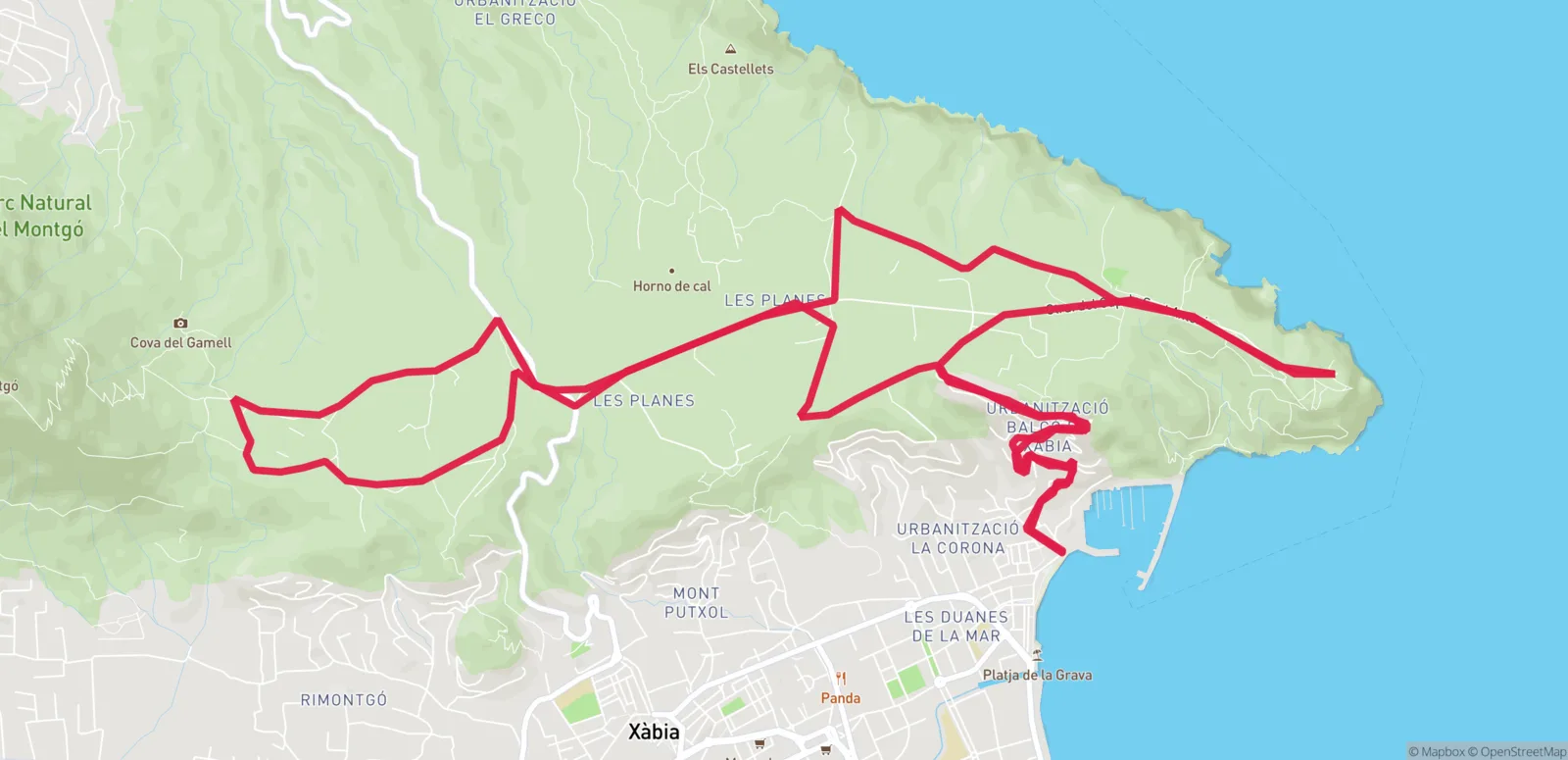
Les Planes Route

Les Planes Route

A ride through the Montgó Natural Park climbing up to Les Planes, a flat area that is always a few degrees cooler than sea level. You can start straight at the Les Planes picnic area and skip the climb.

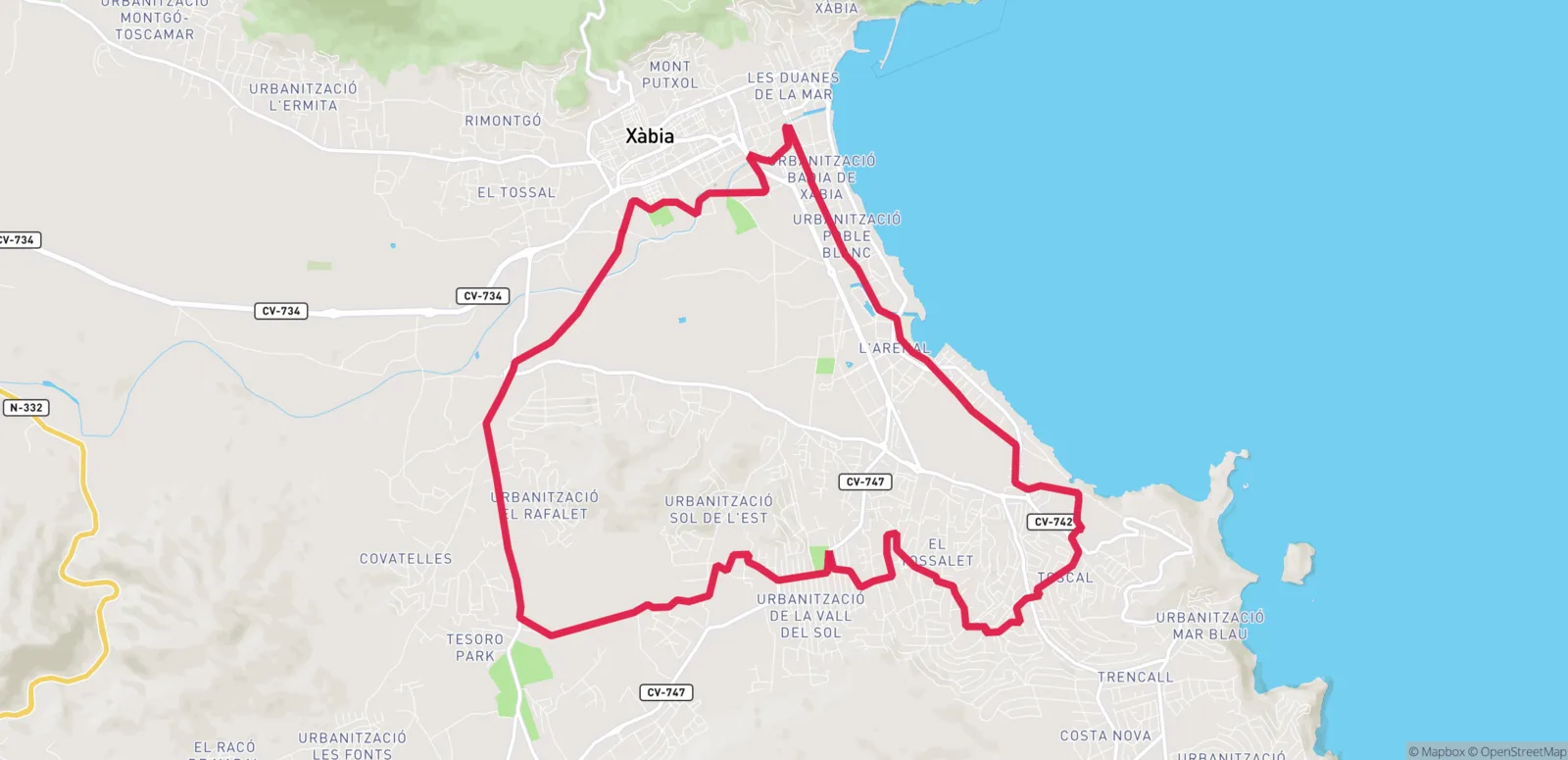
Parks of Xàbia Route

Parks of Xàbia Route

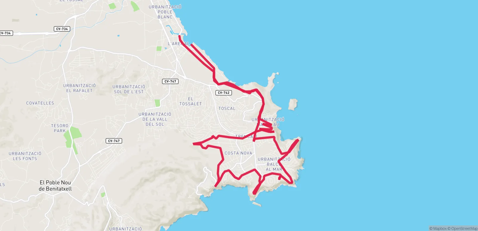
Links the small municipal parks and green spaces most people never find: Cap Martí, Pou dels Abanells, Pinosol, Las Laderas and Rafalet. Almost entirely on paved streets between villas, with the odd short climb. A few short stretches have to be walked.

Tarraula Route

Tarraula Route

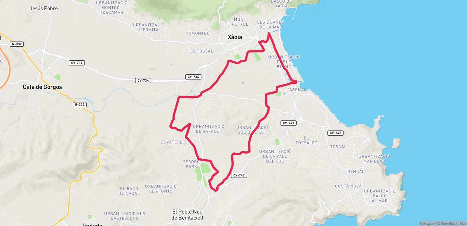
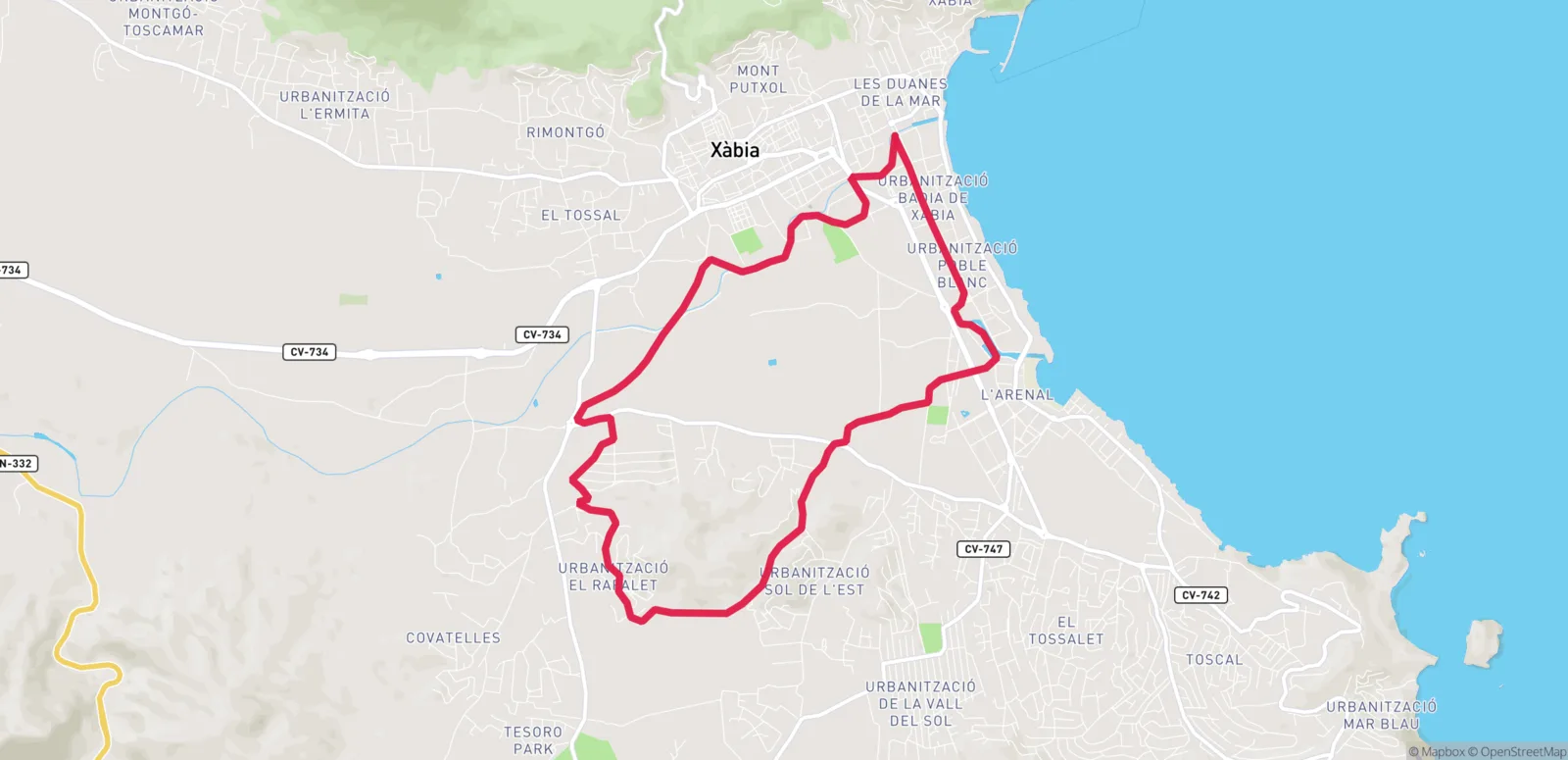
An almost entirely paved loop along farm roads and traditional tracks, cutting diagonally across the municipality to the Benitatxell boundary. It has three sections of increasing difficulty, so you can turn back wherever you like.

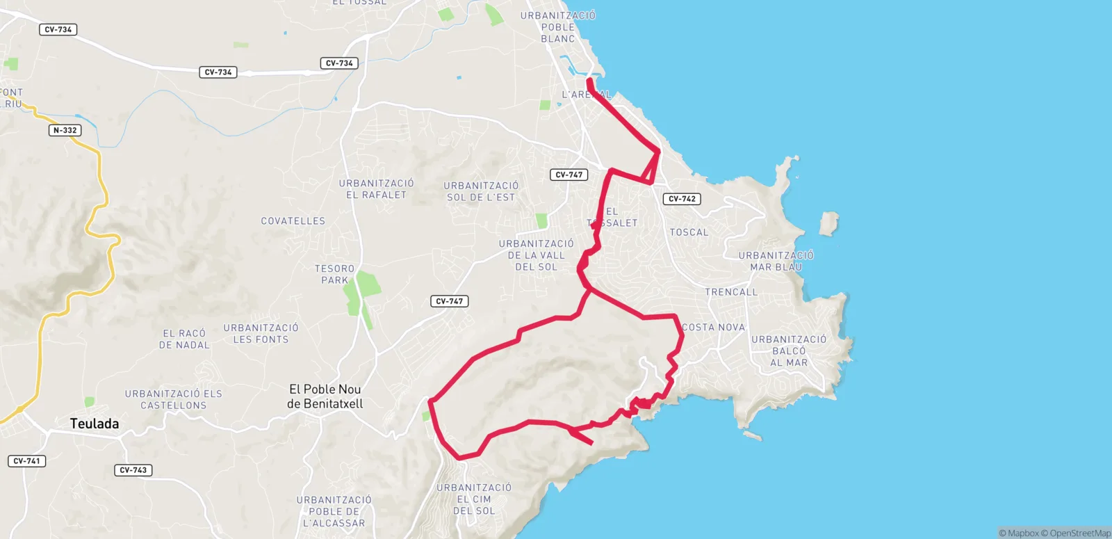
Tossal Gros Route

Tossal Gros Route

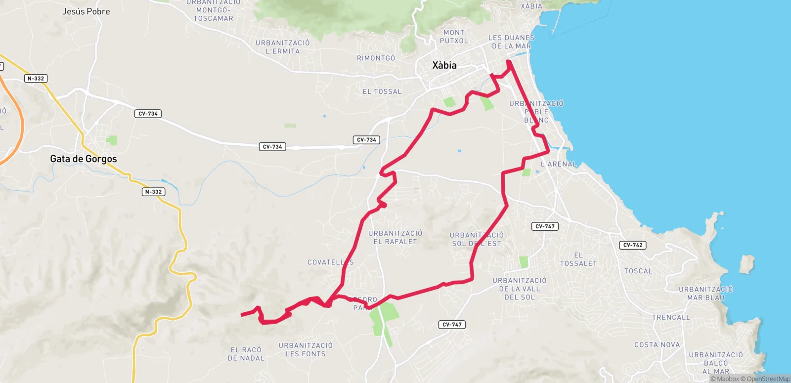
The toughest of them all, with 3.5 km of continuous climbing from the golf club. The reward: views of the Montgó, Cap de Sant Antoni, Puig Llorença, Bèrnia and Moraira — and Ibiza on a clear day.

Volta al Montgó Route

Volta al Montgó Route

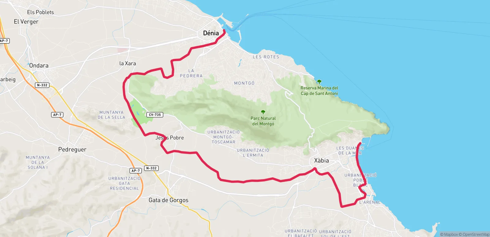
Circles the Montgó Natural Park through farmland of great environmental value, showing every face of the massif from the saddle. No steep climbs, and it ends at Dénia harbour, from where you can return by boat.

SL-CV 97 Cala Barraca

SL-CV 97 Cala Barraca

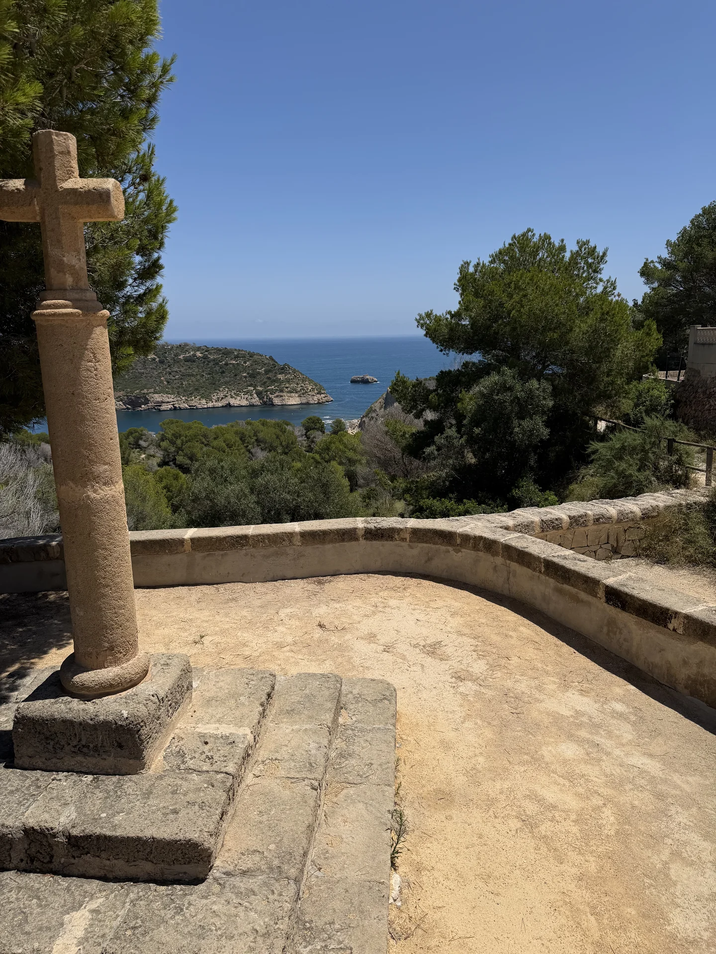
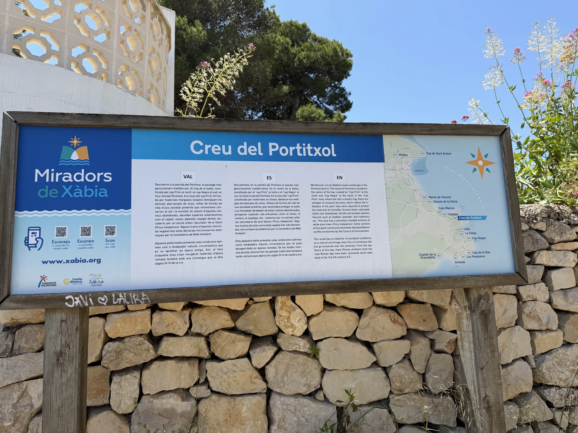
Short path down from the Creu del Portitxol viewpoint to the pebble cove, through mock privet, hottentot fig, carob and pine. The cove takes its name from the fishermen's huts built there, still standing today. Facing it lies the Portitxol islet.

SL-CV 98 Cap Prim

SL-CV 98 Cap Prim

Path out to Cap Prim, on the Portitxol bay, by way of Cala Sardinera. It is a plant micro-reserve with unique endemic species, so stay on the trail. The grey and yellow cliffs stand out against the blue of the sea.

SL-CV 99 Santa Llúcia Chapel

Circular trail leaving the old town and climbing to the 17th-century chapel, 163 metres above the sea, overlooking the whole bay and valley of Xàbia. The hill was already settled in the Bronze Age. Every 13 December a pilgrimage walks up here from the church of Sant Bertomeu.

Scarica l'app per vedere tutti i percorsi e trekking

Scarica Xàbia App Gratis

Trova percorsi e trekking nella nostra app

Scarica Xàbia App per accedere alla lista completa di percorsi e trekking. Ottieni posizioni esatte, orari, recensioni degli utenti e foto reali.

Posizione GPS esatta

Naviga direttamente verso ogni luogo con la nostra mappa integrata.

Valutazioni reali

Scopri i luoghi preferiti della comunità locale.

Percorsi e trekking